ProductIn development
Geomend
EUDR plot geolocation pre-flight. Checks plot files against every published TRACES rule, including the mistakes TRACES accepts and then reads wrongly, fixes what is safe to fix and exports clean GeoJSON.
Highlights
- About 40 rules traced to the 2026 GeoJSON description
- Safe auto-fixes with a change log
- Map, table and Type I/II export
- Runs in the browser, files never uploaded
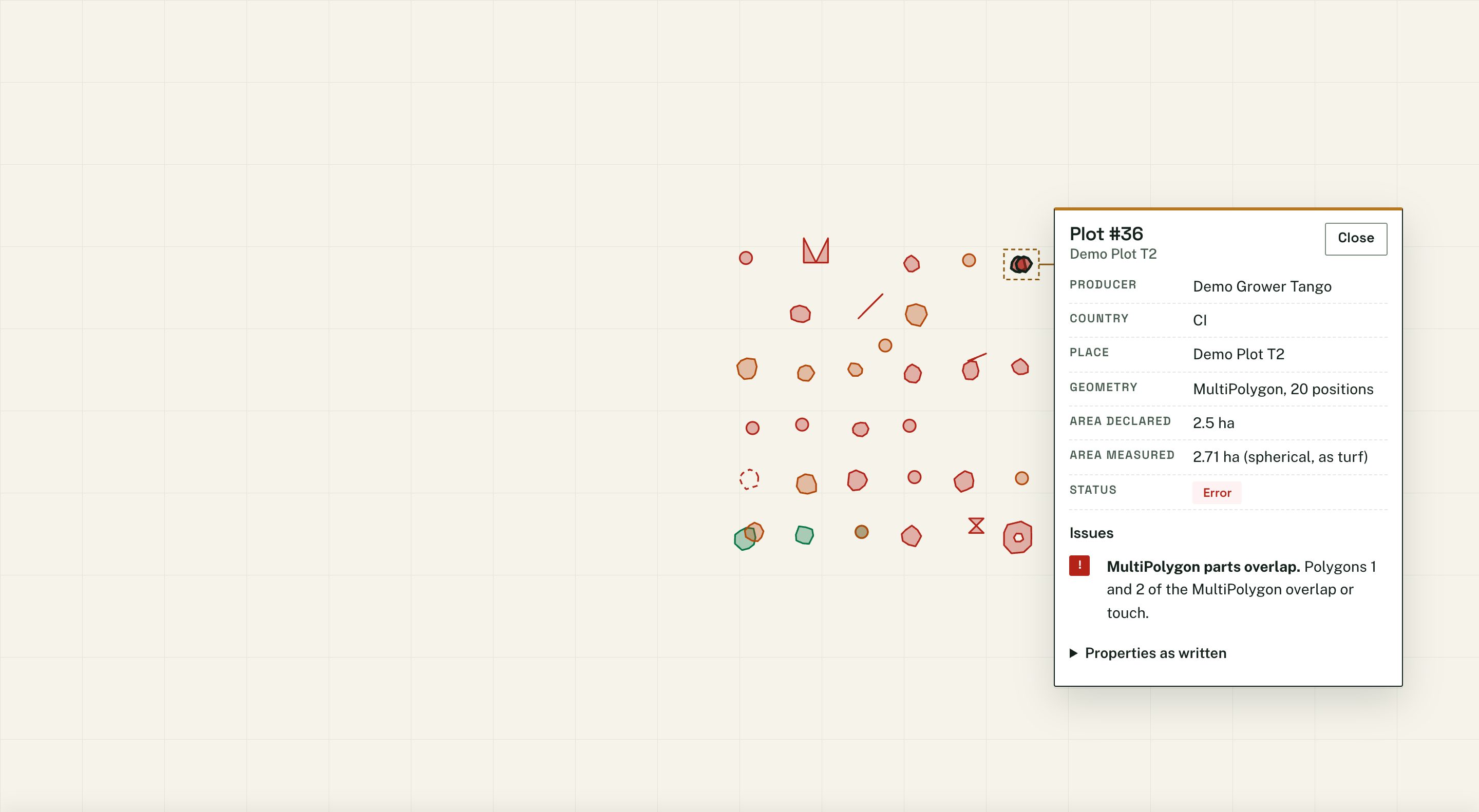
Geomend opens GeoJSON, zipped shapefile, KML or CSV plot files, maps every plot and checks it against the Commission's GeoJSON description (updated 17 August 2026), the Information System validation rules and the FAQ.
It fixes the safe faults with a change log, compares measured area against declared Area, and exports Type I or Type II GeoJSON. Plot files are processed in the browser and never uploaded.
Pre-launch: register interest on the site.
Keep exploring
Related solutions.
